
2/5/2022, 12:20 PM – Athens County is under a LEVEL 1 SNOW EMERGENCY. Roadways are hazardous with blowing and drifting snow. Roads may also be icy. Motorists are urged to drive very cautiously.

2/5/2022, 12:20 PM – Athens County is under a LEVEL 1 SNOW EMERGENCY. Roadways are hazardous with blowing and drifting snow. Roads may also be icy. Motorists are urged to drive very cautiously.

2/4/2022, 3:10 PM – Athens County is under a LEVEL 2 SNOW EMERGENCY. Roadways are hazardous with blowing and drifting snow. Roads may also be very icy. Only those who feel it is necessary to drive should be out on the roads. Contact your employer to see if you should report to work. Motorists should use extreme caution!

The City of Nelsonville announces that all City offices will be closed today — Friday, February 4, 2022, due to severe weather.
The Athens County Sheriff’s Office has issued a LEVEL 3 Snow Emergency for Athens County today.
All roadways are closed to non-emergency personnel. No one should be driving during these conditions unless it is absolutely necessary to travel, or a personal emergency exists. Please use extreme caution if you must travel.
What you can do to help
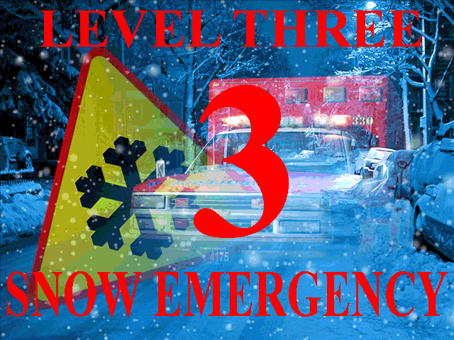
2/4/2022, 3:35 AM – Athens County is under a LEVEL 3 SNOW EMERGENCY. All roadways are closed to non-emergency personnel. No one should be driving during these conditions unless it is absolutely necessary to travel, or a personal emergency exists. All employees should contact their employer to see if they should report to work. Those traveling on the roads may subject themselves to arrest.
The City of Nelsonville Utilities Committee held a meeting on Thursday, February 3, 2022, at 4:00PM. The meeting was held to discuss,
The meeting was streamed on the City of Nelsonville YouTube channel at, https://tinyurl.com/bhv6bp4u.
2/3/2022, 9:00 PM – Athens County is under a LEVEL 2 SNOW EMERGENCY. Roadways are hazardous with blowing and drifting snow. Roads may also be very icy. Only those who feel it is necessary to drive should be out on the roads. Contact your employer to see if you should report to work. Motorists should use extreme caution!

The National Weather Service has issued a FLOOD WARNING for Athens County in effect until 3:15AM, Friday, February 4, 2022.
PRECAUTIONARY/PREPAREDNESS ACTIONS…Turn around, don`t drown when encountering flooded roads. Most flood deaths occur in vehicles.
In hilly terrain there are hundreds of low water crossings which are potentially dangerous in heavy rain. Do not attempt to cross flooded roads. Find an alternate route.
Report Severe Weather to the National Weather Service by calling toll free, 800 401 9535, when you can do so safely.
The City of Nelsonville Finance Committee held a meeting on Wednesday, February 2, 2022, at 7:00PM. The meeting was held to discuss City finances. The meeting was streamed on the City of Nelsonville YouTube channel at, https://tinyurl.com/bhv6bp4u.
The City of Nelsonville Parks and Recreation Committee held a meeting on Wednesday, February 2, 2022 at 6:30PM. The meeting was held to discuss Nelsonville youth sports.
The meeting was streamed on the City of Nelsonville YouTube channel at, https://tinyurl.com/bhv6bp4u.
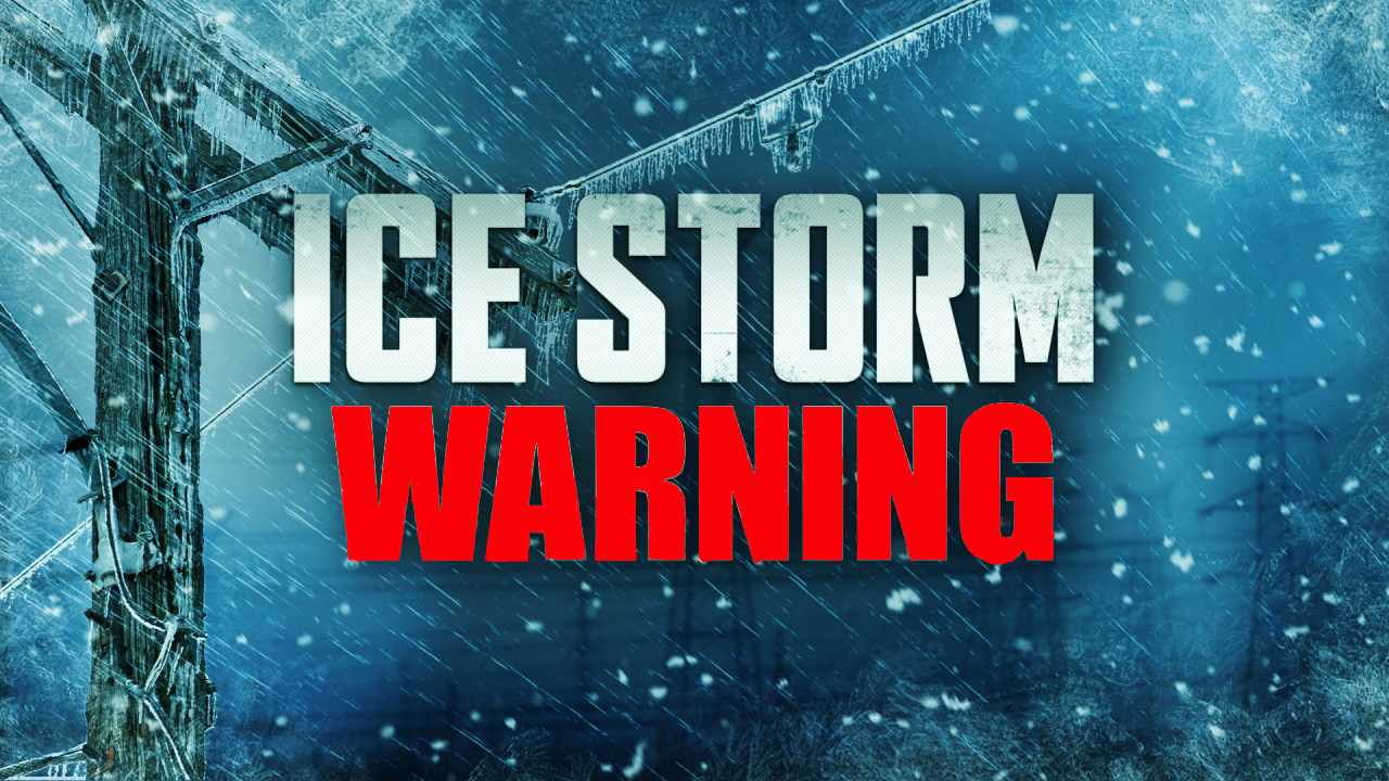
The National Weather Service has issued an ICE STORM WARNING for Athens County until 7:00AM, Friday, February 4, 2022.
PRECAUTIONARY/PREPAREDNESS ACTIONS… Travel is strongly discouraged. If you must travel, keep an extra flashlight, food and water in your vehicle in case of an emergency. Prepare for possible power outages.
