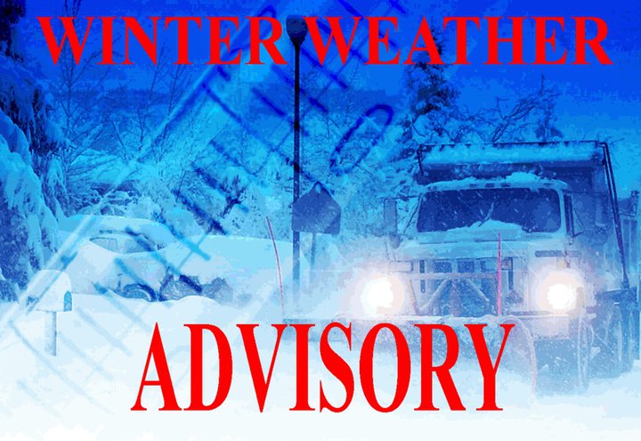
The National Weather Service has issued a Winter Weather Advisory for Athens County in effect from 4:00AM Tuesday, February 11, 2025, until 11:00AM Wednesday, February 12, 2025.
WHAT…Mixed precipitation expected. Total snow accumulations between 1 and 3 inches and ice accumulations a light glaze.
WHERE…Portions of southeast Ohio and northern West Virginia.
WHEN…From 4:00AM Tuesday, February 11, 2025, until 11:00AM Wednesday, February 12, 2025.
IMPACTS…Plan on slippery road conditions. The hazardous conditions could impact the Tuesday morning and evening commutes.
PRECAUTIONARY/PREPAREDNESS ACTIONS… Slow down and use caution while traveling. The latest road conditions for the state you are calling from can be obtained by calling 5-1-1 or by accessing the online traffic and roadway portal for your state.
Additional information can be found at https://www.weather.gov/rlx as well as on Facebook and Twitter pages.