ATHENS CO WINTER WEATHER ADVISORY IN EFFECT FROM 4AM WED, 12/16/2020 TO 4AM THU, 12/17/2020, 2 TO 4 INCHES SNOW POSSIBLE

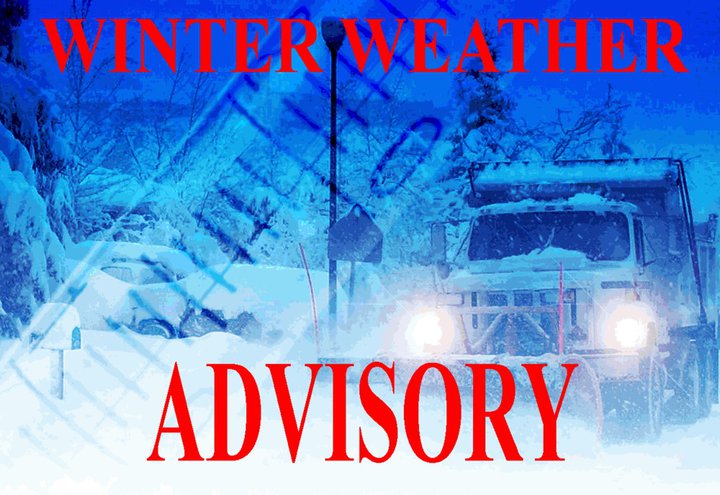
Athens County WINTER WEATHER ADVISORY in effect from 4AM Wednesday, 12/16/2020 until 4AM Thursday, 12/17/2020.

  • WHAT – Snow expected. Total snow accumulations of 2 to 4 inches.
  • WHERE – Portions of southeast Ohio and central and northern West Virginia.
  • WHEN – From 4AM Wednesday to 4AM Thursday.
  • IMPACTS – Travel could be very difficult. The hazardous conditions could impact the morning or evening commute.

PRECAUTIONARY/PREPAREDNESS ACTIONS;
Slow down and use caution while traveling.

Additional information can be found at https://www.weather.gov/rlx as well as on our Facebook and Twitter pages.

ATHENS CO WINTER WEATHER ADVISORY FROM 4 PM MON, 11/30/2020 TO NOON, TUE, 12/1/2020, HAZARDOUS SLIPPERY ROAD CONDITIONS

The National Weather Service has issued a Winter Weather Advisory for Athens County in effect from 4:00 PM Monday, 11/30/2020 until 12 noon, Tuesday, 12/1/2020.

  • WHAT – Snow expected. Total snow accumulations of 1 to 3 inches. Isolated areas may receive upwards of 4 inches.
  • WHERE – Portions of southeast Ohio.
  • WHEN – From 4:00 PM Monday, 11/30/2020 until 12 noon, Tuesday, 12/1/2020.
  • IMPACTS – Plan on slippery road conditions. The hazardous conditions could impact the morning or evening commute.

PRECAUTIONARY/PREPAREDNESS ACTIONS;
Slow down and use caution while traveling.

Additional information can be found at https://www.weather.gov/rlx as well as on our Facebook and Twitter pages.

ATHENS CO, RED FLAG WARNING IN EFFECT UNTIL 7 PM THU, 11/19/2020, FOR WIND AND LOW RELATIVE HUMIDITY, NO OUTDOOR BURNING

The National Weather Service has issued a Red Flag Warning for wind and low relative humidity, which is in effect until 7 PM, Thursday, 11/19/2020.

  • Affected Area – NE Kentucky, SE Ohio
  • Winds – South 10 to 15 mph with gusts up to 25 mph.
  • Relative Humidity – As low as 23 percent.
  • Impacts – Any fires that develop will likely spread rapidly. NO OUTDOOR BURNING!

PRECAUTIONARY/PREPAREDNESS ACTIONS:
A Red Flag Warning means that critical fire weather conditions are either occurring now or will shortly. A combination of strong winds, low relative humidity, and warm temperatures can contribute to extreme fire behavior.

Athens County Severe Thunderstorm Warning until 1:45PM, Sun, 11/15/2020, seek shelter if threatening weather approaches!

The National Weather Service has issued a Severe Thunderstorm Warning for Athens County until 1:45 PM, Sunday, 11/15/2020.

At 1224 PM, severe thunderstorms were located along a line extending from Chesterville to 10 miles northeast of Kingston to 10 miles southeast of Peebles, moving east at 50 mph. Sporadic severe wind gusts are likely with this line of thunderstorms.

  • HAZARD – 60 mph wind gusts.
  • SOURCE – Radar indicated.
  • IMPACT – Expect damage to roofs, siding, and trees.

Locations impacted include Athens, Nelsonville, Glouster, Albany, Shawnee, and Coolville. This includes Interstate 77 in Ohio between mile markers 4 and 17.

PRECAUTIONARY/PREPAREDNESS ACTIONS;

For your protection move to an interior room on the lowest floor of a building.

Please report severe weather to the National Weather Service by calling toll free, 800 401 9535, when you can do so safely.

You may also report severe weather by posting your report to the Charleston West Virginia National Weather Service Facebook Page, or by using the Twitter Hashtag, NWSRLX.

ATHENS COUNTY SEVERE THUNDERSTORM WATCH UNTIL 4PM, SUN, 11/15/2020, WATCH FOR CHANGING WEATHER CONDITIONS!

THE NATIONAL WEATHER SERVICE HAS ISSUED A SEVERE THUNDERSTORM WATCH FOR ATHENS COUNTY UNTIL 4:00PM, SUNDAY, 11/15/2020.

REMEMBER, A SEVERE THUNDERSTORM WATCH MEANS CONDITIONS ARE FAVORABLE FOR SEVERE THUNDERSTORMS IN AND CLOSE TO THE WATCH AREA. PERSONS IN THESE AREAS SHOULD BE ON THE LOOKOUT FOR THREATENING WEATHER CONDITIONS AND LISTEN FOR LATER STATEMENTS AND POSSIBLE WARNINGS. SEVERE THUNDERSTORMS CAN AND OCCASIONALLY DO PRODUCE TORNADOES.

STAY TUNED TO NOAA WEATHER RADIO, LOCAL TV, RADIO OR YOUR CABLE TELEVISION PROVIDER FOR LATER STATEMENTS AND POSSIBLE WARNINGS.

WIND ADVISORY FOR ATHENS CO IN EFFECT FROM 9AM TO 7PM SUN, 11/15/2020, USE CAUTION DRIVING, SECURE OUTDOOR OBJECTS

The National Weather Service has issued a WIND ADVISORY for Athens County in effect from 9:00AM until 7:00PM, Sunday, 11/15/2020.

  • WHAT – Southwest winds 20 to 30 mph with gusts up to 50 mph expected.
  • WHERE – Portions of southeast Ohio, southwest Virginia, northeast Kentucky and central, northeast, northern, southeast, southern, and western West Virginia.
  • WHEN – From 9 AM to 7 PM Sunday, 11/15/2020.
  • IMPACTS – Gusty winds could blow around unsecured objects, including outdoor holiday decorations. Tree limbs could be blown down and a few power outages may result.

PRECAUTIONARY/PREPAREDNESS ACTIONS;
Use extra caution when driving, especially if operating a high-profile vehicle. Secure outdoor objects.