Athens Co Wind Chill Advisory in effect until 4PM, Sat, 12/24/22, wind chills as low as -20

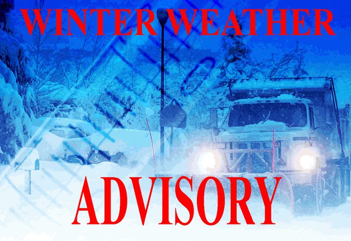
The National Weather Service has issued a Wind Chill Advisory until 4PM, Saturday, 12/24/2022. The Wind Chill Warning is downgraded to the advisory.

* WHAT…Very cold wind chills. Wind chills as low as 20 below zero.

* WHERE…Portions of northeast Kentucky, southeast Ohio and central, northern, southern and western West Virginia.

* WHEN…Until 4PM, Saturday, 12/24/2022.

* IMPACTS…The cold wind chills could cause frostbite on exposed skin in as little as 30 minutes.

PRECAUTIONARY/PREPAREDNESS ACTIONS…

Use caution while traveling outside. Wear appropriate clothing, a hat, and gloves.

Athens Co Wind Chill Warning from 6AM, Fri, 12/23/22, until 12PM, Sat, 12/24/22, wind chills as low as -25

The National Weather Service has issued a Wind Chill Warning for Athens County in effect from 6AM, Friday, 12/23/22, until 12PM, Saturday, 12/24/22.

* WHAT…Dangerously cold wind chills expected. Wind chills as low as 25 below zero. Winds gusting as high as 45mph.

* WHERE…Portions of northeast Kentucky, southeast Ohio, southwest Virginia and central, northeast, northern, southeast, southern and western West Virginia.

* WHEN… 6AM, Friday, 12/23/22, until 12PM, Saturday, 12/24/22.

* IMPACTS…The cold wind chills could cause frostbite on exposed skin in as little as 30 minutes.

PRECAUTIONARY/PREPAREDNESS ACTIONS…

Avoid outside activities if possible. When outside, make sure you wear appropriate clothing, a hat, and gloves.

Additional information can be found at https://www.weather.gov/rlx as well as on our Facebook and Twitter pages.

Athens Co Wind Advisory from 3AM, Fri, 12/23/22, until 7AM, Sat, 12/24/22, winds 15 to 25 mph with gusts of 45 to 50 mph expected

The National Weather Service has issued a Wind Advisory for Athens County from 3AM, Friday, 12/23/22, until 7AM, Saturday, 12/24/22.

* WHAT…West winds 15 to 25 mph with gusts of 45 to 50 mph expected.

* WHERE…Portions of northeast Kentucky, southeast Ohio, southwest Virginia and central, northeast, northern, southeast, southern and western West Virginia.

* WHEN… 3AM, Friday, 12/23/22, until 7AM, Saturday, 12/24/22.

* IMPACTS…Gusty winds could blow around unsecured objects. Tree limbs could be blown down and a few power outages may result.

* ADDITIONAL DETAILS…A Wind Chill Advisory is also in effect due to wind chills as low as 25 below zero.

PRECAUTIONARY/PREPAREDNESS ACTIONS…

Use extra caution when driving, especially if operating a high profile vehicle. Secure outdoor objects.

Athens Co Winter Weather Advisory, Fri, 12/23/22, from 1AM until 12PM, snow expected along with a flash freeze on roadways

The National Weather Service has issued a Winter Weather Advisory for Athens County for Friday, 12/23/22, from 1AM until 12PM.

* WHAT…Snow expected along with a flash freeze on roadways due to rapidly falling temperatures. Total snow accumulations of up to two inches. Winds gusting as high as 45mph.

* WHERE…Portions of northeast Kentucky, southeast Ohio, southwest Virginia and central, northeast, northern, southeast, southern and western West Virginia.

* WHEN… Friday, 12/23/22, from 1AM until 12PM.

* IMPACTS…Plan on slippery road conditions. Patchy blowing snow could significantly reduce visibility. The hazardous conditions could impact the morning or evening commute. Gusty winds could bring down tree branches. The cold wind chills could cause frostbite on exposed skin in as little as 30 minutes.

PRECAUTIONARY/PREPAREDNESS ACTIONS…

Avoid outside activities if possible. When outside, make sure you wear appropriate clothing, a hat, and gloves. Slow down and use caution while traveling.

Additional information can be found at https://www.weather.gov/rlx as well as on our Facebook and Twitter pages.

Athens Co WIND CHILL WATCH from 3AM, Fri, 12/23/22 through 1PM, Sat, 12/24/22, wind gusts up to 40mph, wind chills as low as -25

The National Weather Service has issued a WIND CHILL WATCH for Athens County in effect from 3:00AM, Friday, 12/23/2022 through 1:00PM, Saturday, 12/24/2022.

* WHAT…Dangerously cold wind chills with wind gusts up to 40 mph possible. Wind chills as low as 25 below zero.

* WHERE…Portions of northeast Kentucky, southeast Ohio, southwest Virginia and central, northeast, northern, southeast, southern, and western West Virginia.

* WHEN… 3:00AM, Friday, 12/23/2022 through 1:00PM, Saturday, 12/24/2022.

* IMPACTS…The cold wind chills could cause frostbite on exposed skin in as little as 20 minutes. Gusty winds could bring down tree branches.

PRECAUTIONARY/PREPAREDNESS ACTIONS…

Monitor the latest forecasts for updates on this situation.

Additional information can be found at https://www.weather.gov/rlx as well as on our Facebook and Twitter pages.

Athens Co RED FLAG WARNING Wed, 11/9/22 10AM to 6PM, low humidity, gusty winds, dry fuels, no open burning!

The National Weather Service has issued a Red Flag Warning for Athens County due to the combination of low relative humidity and gusty winds, which is in effect from 10 AM to 6 PM Wednesday, November 9, 2022.

Timing… 10 AM to 6 PM Wednesday, November 9, 2022.

Winds…Southeast 5 to 10 mph with gusts up to 25 mph. The stronger winds are expected across mountainous counties.

Relative Humidity…As low as 17 to 19 percent.

Temperatures…In the mid-60s to lower 70s across the lowlands. In the mid-50s to lower 60s across the mountains.

PRECAUTIONARY/PREPAREDNESS ACTIONS…

A Red Flag Warning means that critical fire weather conditions are either occurring now or will shortly. A combination of strong winds, low relative humidity, and warm temperatures can contribute to extreme fire behavior.

Increased potential for fire danger Tue, 11/8/22, fires could become out of control, no outdoor burning

Due to very dry conditions continuing across the area and 10 to 20 mph wind gusts expected during the day, there will be an increased potential for fire danger.

Fires that start today could spread and become out of control; therefore, outdoor burning is not recommended, Tuesday, 11/8/22.

Ohio Revised Code (ORC) 1503.18 prohibits open burning from 6 a.m. to 6 p.m. during October, and November.

Athens Co FLOOD WATCH until 11PM, Mon, 9/5/22, excessive rainfall may cause flooding, watch for changing weather conditions

The National Weather Service has issued a flood watch for Athens County until 11:00PM, Monday, September 5, 2022.

WHAT…Flash flooding caused by excessive rainfall is possible.

WHERE…Portions of southeast Ohio, southwest Virginia, and West Virginia, including Athens County.

WHEN…Through 11:00PM, Monday, September 5, 2022.

IMPACTS…Flooding may occur in poor drainage areas, urban areas, and other low-lying and flood-prone locations. Excessive runoff may also result in flooding of creeks and streams.

ADDITIONAL DETAILS… – http://www.weather.gov/safety/flood

PRECAUTIONARY/PREPAREDNESS ACTIONS…You should monitor later forecasts and be prepared to take action should Flash Flood Warnings be issued.

Athens Co Flood Watch in effect until 8PM, Wed, 8/10/22, watch for rapidly changing weather conditions!

The National Weather Service has issued a Flood Watch for Athens County until 8:00PM, Wednesday, August 10, 2022.

* WHAT … Flash flooding caused by excessive rainfall is possible.

* WHERE …  Portions of northeast Kentucky, southeast Ohio and West Virginia.

* WHEN … Until 8:00PM, Wednesday, August 10, 2022.

* IMPACTS … Excessive runoff may result in flooding of creeks, streams, and other low-lying and flood-prone locations. Creeks and streams may rise out of their banks.

* ADDITIONAL DETAILS …  – http://www.weather.gov/safety/flood

PRECAUTIONARY/PREPAREDNESS ACTIONS … You should monitor later forecasts and be prepared to take action should Flash Flood Warnings be issued.