Athens Co Winter Weather Advisory until 7PM, Sun, 2/16/25, 1 to inches snow, winds gusting to 40mph, plan on slippery road conditions

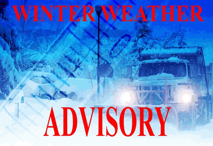
The National Weather Service has issued a Winter Weather Advisory for Athens County in effect until 7:00PM, Sunday, February 16, 2025.

WHAT…Snow expected. Total snow accumulations 1 to 2 inches. Winds gusting as high as 40 mph.

WHERE…Portions of northeast Kentucky, southeast Ohio, southwest Virginia, and central, northern, southeast, southern, and western West Virginia.

WHEN…Until 7:00PM, Sunday, February 16, 2025.

IMPACTS…Plan on slippery road conditions.

ADDITIONAL DETAILS…Wrap around snow showers and strong gusty winds will produce quick reduction in visibility along with slippery roads while driving this afternoon and evening.

PRECAUTIONARY/PREPAREDNESS ACTIONS…Slow down and use caution while traveling. The latest road conditions for the state you are calling from can be obtained by calling 5-1-1 or by accessing the online traffic and roadway portal for your state.

Additional information can be found at https://www.weather.gov/rlx as well as their Facebook and Twitter pages.

Athens Co Flood Watch from 7AM, Sat, 2/15/2025 until 1AM, Mon, 2/17/25, Flooding possible caused by excessive rainfall

The National Weather Service has issued a Flood Watch for Athens County in effect from 7:00AM, Saturday, February 15 until 1:00AM, Monday, February 17, 2025.

WHAT…Flooding caused by excessive rainfall continues to be possible.

WHERE…Portions of northeast Kentucky, southeast Ohio, including Athens County, and West Virginia.

WHEN…From 7:00AM, Saturday, February 15 until 1:00AM, Monday, February 17, 2025.

IMPACTS…Excessive runoff may result in flooding of rivers, creeks, streams, and other low-lying and flood-prone locations. Flooding may also occur in poor drainage and urban areas. Extensive street flooding is possible.

ADDITIONAL DETAILS…http://www.weather.gov/safety/flood

PRECAUTIONARY/PREPAREDNESS ACTIONS…You should monitor later forecasts and be alert for possible Flood Warnings. Those living in areas prone to flooding should be prepared to take action should flooding develop.

The saturated ground has produced conditions ripe for landslides and debris flows on steep slopes around the area. Residents with homes on or at the base of hillsides should watch for trees leaning in unusual orientations, water and mud seepage where not expected and other signs of potential ground movement.

Additional information can be found at https://www.weather.gov/rlx as well as on Facebook and Twitter pages.

Nelsonville Burr Oak Blvd closure Hillside Drive to US 33 overpass, extended until Thu, 2/20/25, at 6PM, please avoid area, use an alternate route

The City of Nelsonville announces that the Burr Oak Boulevard closure between Hillside Drive and the US 33 overpass has been extended until Thursday, February 20, 2025, at 6:00PM. The closure is for the installation of new sanitary sewer lines.

Please avoid this area and use an alternate route.