
Athens County is under a LEVEL 1 SNOW EMERGENCY. Roadways are hazardous with blowing and drifting snow. Roads may also be icy. Motorists are urged to drive very cautiously.

Athens County is under a LEVEL 1 SNOW EMERGENCY. Roadways are hazardous with blowing and drifting snow. Roads may also be icy. Motorists are urged to drive very cautiously.

The National Weather Service has issued a Flood Warning for Athens County until 745AM, Thursday 2/13/2020.
At 1046 PM, Doppler radar indicated prolonged rainfall across the area. Flooding is ongoing or expected to begin shortly in the warning area. Between 0.5 and 1.5 inches of rain have fallen, and rain will continue off and on during the overnight.
Creeks and streams will fill and could come out of their banks. Low lying areas will flood. Road closures are possible.
Some locations that will experience flooding include Athens, Nelsonville, Albany, Chauncey, Buchtel, and Amesville.
County emergency management is reporting that low spots are already beginning to flood across the warned area.
PRECAUTIONARY/PREPAREDNESS ACTIONS:
Turn around, don`t drown when encountering flooded roads. Most flood deaths occur in vehicles.
Please report Severe Weather to the National Weather Service by calling toll free, 800 401 9535, when you can do so safely. You may also report severe weather by posting your report to the Charleston West Virginia National Weather Service Facebook Page, or by using the Twitter Hashtag, NWSRLX.

The snow emergency for Athens County has been canceled. Please drive carefully some hazardous road conditions may still exist in remote areas of the county.
Athens County is under a LEVEL 1 SNOW EMERGENCY. Roadways are hazardous with blowing and drifting snow. Roads may also be icy. Motorists are urged to drive very cautiously.
A Winter Weather Advisory has been issued for Athens County from 10PM Thursday, 2/6/2020 until 11AM Friday, 2/7/2020.
PRECAUTIONARY/PREPAREDNESS ACTIONS:
Slow down and use caution while traveling. Additional information can be found at https://www.weather.gov/rlx as well as on our Facebook and Twitter pages.
The National Weather Service has issued a Flood Warning for Athens County until 130 AM Saturday 1/25/20.
At 423 PM, the Ohio department of transportation reported road closures and restrictions in Athens county west of Athens.
Some locations that will experience flooding include Athens, Nelsonville, Glouster, Albany, Coolville, and Chauncey.
Additional rainfall amounts of up to one half inch are possible in the warned area.
PRECAUTIONARY/PREPAREDNESS ACTIONS:
Turn around, don`t drown when encountering flooded roads. Most flood deaths occur in vehicles.
Excessive runoff from heavy rainfall will cause flooding of small creeks and streams, urban areas, highways, streets and underpasses as well as other drainage areas, country roads, farmland and other low-lying spots.
Please report flooding to the National Weather Service by calling toll free, 800-401-9535, when you can do so safely.
You may also report flooding by posting your report to the Charleston West Virginia National Weather Service Facebook Page, or by using the Twitter Hashtag, NWSRLX.

The snow emergency for Athens County has been canceled. Please drive carefully some hazardous road conditions may still exist in remote areas of the county.
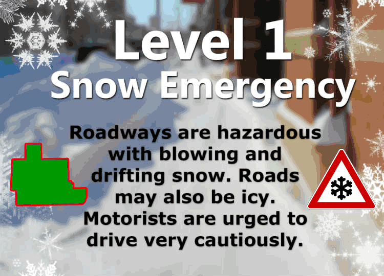
Athens County is under a LEVEL 1 SNOW EMERGENCY, roadways are hazardous and may be icy. Motorists are urged to drive very cautiously.

The National Weather Service has issued a wind advisory for Athens County in effect from 9AM Saturday, 1/11/20 until 5AM Sunday, 1/12/20
PRECAUTIONARY/PREPAREDNESS ACTIONS:
Use extra caution when driving, especially if operating a high profile vehicle. Secure outdoor objects.

The National Weather Service has issued a Flood Watch for Athens County from noon Sunday, 12/29/19 until Monday, 12/30/19.
Rain will become more widespread this afternoon and continue through the evening. The rain will be moderate to heavy at times late this afternoon and early evening. Total rainfall amounts of 1.5 to 2.0 inches will be possible through tonight.
Flooding of low-lying areas will be possible. In addition, some creeks may exceed their banks resulting in potential road closures, especially in southeast Ohio.
PRECAUTIONARY/PREPAREDNESS ACTIONS:
A Flood Watch means there is a potential for flooding based on current forecasts.
You should monitor later forecasts and be alert for possible Flood Warnings. Those living in areas prone to flooding should be prepared to take action should flooding develop.
