ATHENS CO WINTER STORM WATCH IN EFFECT FROM 9PM, WED 2/2/22 UNTIL 10AM, FRI 2/4/22, HEAVY MIX PRECIPITATION POSSIBLE

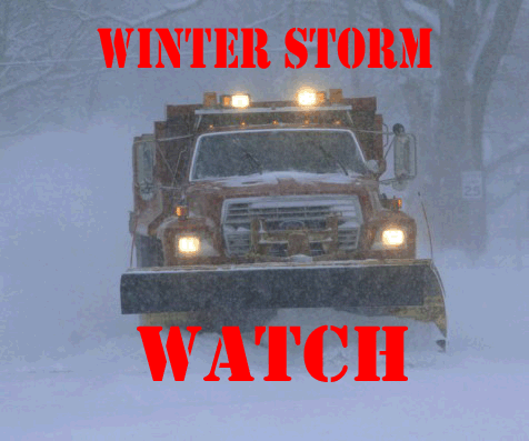
The National Weather Service has issued a WINTER STORM WATCH for Athens County in effect from 9:00PM, Wednesday, 2/2/2022 until 10:00AM, Friday, 2/4/2022.

  • WHAT…Heavy mixed precipitation possible. Total snow accumulations of 1 to 3 inches and ice accumulations of two tenths to half an inch possible.
  • WHERE…Perry, Morgan, Athens, and Vinton Counties.
  • WHEN…From Wednesday evening through Friday morning.
  • IMPACTS…Power outages and tree damage are likely due to the ice. Travel could be nearly impossible. The hazardous conditions could impact the morning or evening commute.

PRECAUTIONARY/PREPAREDNESS ACTIONS… Monitor the latest forecasts for updates on this situation.

Athens Co LEVEL 2 SNOW EMERGENCY, roads hazardous, travel only if needed, use extreme caution!

1/28/2022, 4:35 AM – Athens County is under a LEVEL 2 SNOW EMERGENCY.  Roadways are hazardous with blowing and drifting snow. Roads may also be very icy. Only those who feel it is necessary to drive should be out on the roads. Contact your employer to see if you should report to work. Motorists should use extreme caution!

ATHENS CO WINTER WEATHER ADVISORY IN EFFECT FROM 7AM TO 7PM SUNDAY, 1/23/2022, 1 TO 2 INCHES OF SNOW EXPECTED

The National Weather Service has issued a WINTER WEATHER ADVISORY for Athens County from 7:00AM until 7:00PM, Sunday, January 23, 2022.

  • WHAT…Snow expected. Total snow accumulations of 1 to 2 inches.
  • WHERE…Portions of southeast Ohio and northern West Virginia.
  • WHEN…From 7 AM to 7 PM Sunday, 1/23/2022.
  • IMPACTS…Plan on slippery road conditions.

PRECAUTIONARY/PREPAREDNESS ACTIONS…Slow down and use caution while traveling.

Additional information can be found at https://www.weather.gov/rlx as well as on our Facebook and Twitter pages.