
1/19/2025, 2:10PM – Athens County is under a LEVEL 1 SNOW EMERGENCY. Roadways are hazardous with blowing and drifting snow. Roads may also be icy. Motorists are urged to drive very cautiously.

1/19/2025, 2:10PM – Athens County is under a LEVEL 1 SNOW EMERGENCY. Roadways are hazardous with blowing and drifting snow. Roads may also be icy. Motorists are urged to drive very cautiously.

1/19/2025, 10:50AM – Athens County is under a LEVEL 2 SNOW EMERGENCY. Roadways are hazardous with blowing and drifting snow. Roads may also be very icy. Only those who feel it is necessary to drive should be out on the roads. Contact your employer to see if you should report to work. Motorists should use extreme caution!
1/19/2025, 7:45AM – Athens County is under a LEVEL 1 SNOW EMERGENCY. Roadways are hazardous with blowing and drifting snow. Roads may also be icy. Motorists are urged to drive very cautiously.

The National Weather Service has issued an Extreme Cold Watch in effect from 4:00 AM, Monday, January 20, 2025, until 12:00 PM, Wednesday, January 22, 2025.
* WHAT…Dangerously cold wind chills as low as 15 below possible.
* WHERE…Portions of southeast Ohio, southwest Virginia, and central, northeast, northern, southeast, and southern West Virginia.
* WHEN… 4:00 AM, Monday, January 20, 2025, until 12:00 PM, Wednesday, January 22, 2025. The coldest period is most likely Monday morning.
* IMPACTS…The cold wind chills as low as 15 below zero could result in hypothermia if precautions are not taken. Frostbite and hypothermia will occur if unprotected skin is exposed to these temperatures. An extended period of freezing temperatures could cause ruptured water pipes.
PRECAUTIONARY/PREPAREDNESS ACTIONS – Dress in layers including a hat, face mask, and gloves if you must go outside.
To prevent water pipes from freezing; wrap or drain or allow them to drip slowly.
Keep pets indoors as much as possible.
Make sure outdoor animals have a warm, dry shelter, food, and unfrozen water.
Make frequent checks on older family, friends, and neighbors. Ensure portable heaters are used correctly. Do not use generators or grills inside.
Monitor the latest forecasts and warnings for updates.
Additional information can be found at https://www.weather.gov/rlx as well as on Facebook and Twitter pages.

1/13/2025, 11:25 AM – The snow emergency for Athens County has been canceled. Please drive carefully some hazardous road conditions may still exist in remote areas of the county.
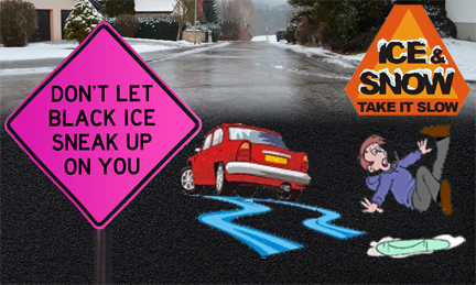
SPECIAL WEATHER STATEMENT – Temperatures today allowed for melting of some snow. Temperatures will quickly fall below freezing this evening, Sunday, January 12, 2025, allowing water from the melted snow to quickly freeze on untreated roadways or roadways that have not been recently treated.
Motorists should use extreme caution this evening and be prepared for patches of black ice.
1/10/2025, 7:30 PM – Athens County is under a LEVEL 2 SNOW EMERGENCY. Roadways are hazardous with blowing and drifting snow. Roads may also be very icy. Only those who feel it is necessary to drive should be out on the roads. Contact your employer to see if you should report to work. Motorists should use extreme caution!
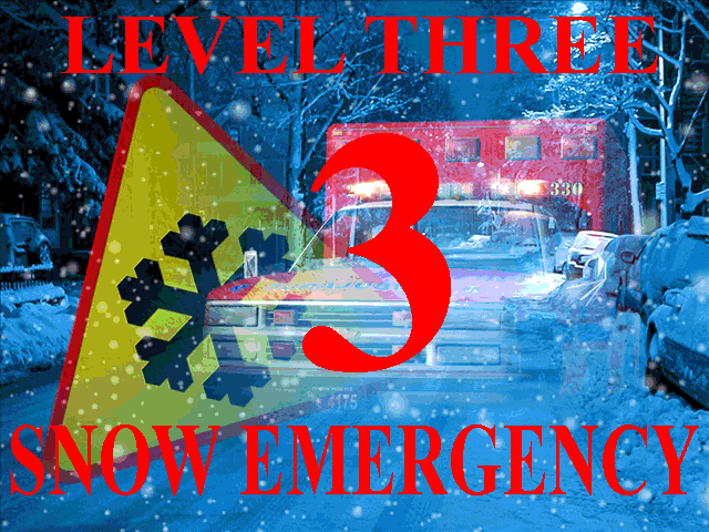
1/5/2025, 11:20 PM – Athens County is under a LEVEL 3 SNOW EMERGENCY. All roadways are closed to non-emergency personnel. No one should be driving during these conditions unless it is absolutely necessary to travel, or a personal emergency exists. All employees should contact their employer to see if they should report to work. Those traveling on the roads may subject themselves to arrest.
1/5/2025, 5:17 PM – Athens County is under a LEVEL 2 SNOW EMERGENCY. Roadways are hazardous with blowing and drifting snow. Roads may also be very icy. Only those who feel it is necessary to drive should be out on the roads. Contact your employer to see if you should report to work. Motorists should use extreme caution!
1/5/2025, 4:00 PM – Athens County is under a LEVEL 1 SNOW EMERGENCY. Roadways are hazardous with blowing and drifting snow. Roads may also be icy. Motorists are urged to drive very cautiously.
