
2/12/2025, 10:30AM – Athens County is under a LEVEL 1 SNOW EMERGENCY. Roadways are hazardous with blowing and drifting snow. Roads may also be icy. Motorists are urged to drive very cautiously.

2/12/2025, 10:30AM – Athens County is under a LEVEL 1 SNOW EMERGENCY. Roadways are hazardous with blowing and drifting snow. Roads may also be icy. Motorists are urged to drive very cautiously.

2/11/2025, 8:35PM – Athens County is under a LEVEL 2 SNOW EMERGENCY. Roadways are hazardous with blowing and drifting snow. Roads may also be very icy. Only those who feel it is necessary to drive should be out on the roads. Contact your employer to see if you should report to work. Motorists should use extreme caution!
2/11/2025, 6:10PM – Athens County is under a LEVEL 1 SNOW EMERGENCY. Roadways are hazardous with blowing and drifting snow. Roads may also be icy. Motorists are urged to drive very cautiously.
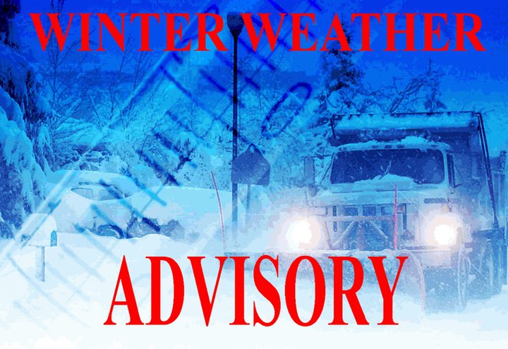
The National Weather Service has issued a Winter Weather Advisory for Athens County in effect from 4:00AM Tuesday, February 11, 2025, until 11:00AM Wednesday, February 12, 2025.
WHAT…Mixed precipitation expected. Total snow accumulations between 1 and 3 inches and ice accumulations a light glaze.
WHERE…Portions of southeast Ohio and northern West Virginia.
WHEN…From 4:00AM Tuesday, February 11, 2025, until 11:00AM Wednesday, February 12, 2025.
IMPACTS…Plan on slippery road conditions. The hazardous conditions could impact the Tuesday morning and evening commutes.
PRECAUTIONARY/PREPAREDNESS ACTIONS… Slow down and use caution while traveling. The latest road conditions for the state you are calling from can be obtained by calling 5-1-1 or by accessing the online traffic and roadway portal for your state.
Additional information can be found at https://www.weather.gov/rlx as well as on Facebook and Twitter pages.
The National Weather Service has issued a Winter Weather Advisory for Athens County in effect from 6:00PM Wednesday, February 5, until 2:00 AM Thursday, February 6, 2025.
WHAT…Freezing rain expected. Total ice accumulations of up to one tenth of an inch.
WHERE…Athens, Morgan, Perry, and Vinton Counties.
WHEN…From 6:00PM Wednesday, February 5, until 2:00 AM Thursday, February 6, 2025.
IMPACTS…Difficult travel conditions are possible.
PRECAUTIONARY/PREPAREDNESS ACTIONS… Slow down and use caution while traveling. Prepare for possible power outages. The latest road conditions for the state you are calling from can be obtained by calling 5-1-1 or by accessing the online traffic and roadway portal for your state.
Additional information can be found at https://www.weather.gov/rlx as well as on Facebook and Twitter pages.
1/23/2025, 11:30PM – Athens County is under a LEVEL 1 SNOW EMERGENCY. Roadways are hazardous with blowing and drifting snow. Roads may also be icy. Motorists are urged to drive very cautiously.
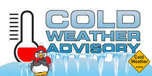
The National Weather Service has issued a Cold Weather Advisory for Athens County in effect from 7:00PM, Tuesday, January 21, 2025, until 10:00AM, Wednesday, January 22, 2025.
* WHAT – Very cold wind chills as low as 7 below expected.
* WHERE – Portions of northeast Kentucky, southeast Ohio including Athens County, and central, northeast, northern, southern, and western West Virginia.
* WHEN…From 7:00PM, Tuesday, January 21, 2025, until 10:00AM, Wednesday, January 22, 2025.
* IMPACTS – The cold wind chills as low as 5 below zero could result in hypothermia if precautions are not taken.
PRECAUTIONARY/PREPAREDNESS ACTIONS – Be sure you and your loved one’s dress appropriately and cover exposed skin if venturing outdoors.
Additional information can be found at https://www.weather.gov/rlx as well as on Facebook and Twitter pages.

1/20/2025, 2:12PM – The snow emergency for Athens County has been canceled. Please drive carefully some hazardous road conditions may still exist in remote areas of the county.
The National Weather Service has issued a Cold Weather Advisory for Athens County in effect from 3:00PM, Monday, January 20, 2025, until 11:00AM, Tuesday, January 21, 2025.
* WHAT – Very cold wind chills as low as 11 below expected.
* WHERE – Portions of southeast Ohio including Athens County and central and northern West
Virginia.
* WHEN – From 3:00PM, Monday, January 20, 2025, until 11:00AM, Tuesday, January 21, 2025.
* IMPACTS – The cold wind chills as low as 5 below zero could result in hypothermia if precautions are not taken.
PRECAUTIONARY/PREPAREDNESS ACTIONS – Be sure you and your loved one’s dress appropriately and cover exposed skin if venturing outdoors.
Additional information can be found at https://www.weather.gov/rlx as well as on Facebook and Twitter pages.
The National Weather Service has issued a Cold Weather Advisory for Athens County in effect from 1:00 AM until 9:00 AM, Wednesday, January 22, 2025.
* WHAT – Very cold wind chills as low as 6 below expected.
* WHERE – Portions of southeast Ohio including Athens County and central and northern West Virginia.
* WHEN – From 1:00 AM until 9:00 AM, Wednesday, January 22, 2025.
* IMPACTS – The cold wind chills as low as 10 below zero could result in hypothermia if precautions are not taken.
PRECAUTIONARY/PREPAREDNESS ACTIONS – Be sure you and your loved one’s dress appropriately and cover exposed skin if venturing outdoors.
Additional information can be found at https://www.weather.gov/rlx as well as on Facebook and Twitter pages.
