The National Weather Service has issued a Cold Weather Advisory for Athens County in effect from 7:00 PM, Wednesday, January 28, 2026, until 11:00 AM, Thursday, January 29, 2026.
WHAT…Very cold wind chills as low as 7 below expected.
WHERE…Portions of southeast Ohio and central and northern West Virginia, including Athens County.
WHEN…From 7:00 PM, Wednesday, January 28, 2026, until 11:00 AM, Thursday, January 29, 2026.
IMPACTS…The cold wind chills as low as 10 below zero could result in hypothermia if precautions are not taken.
PRECAUTIONARY/PREPAREDNESS ACTIONS…Additional information can be found at https://www.weather.gov/rlx as well as on Twitter and Facebook pages.
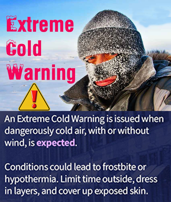
The National Weather Service has issued an EXTREME COLD WARNING for Athens County in effect from 7:00 PM, Monday, January 26, 2026, until 12:00 PM, Tuesday, January 27, 2026.
WHAT…Dangerously cold wind chills as low as 17 below expected.
WHERE…Portions of northeast Kentucky, southeast Ohio, and central, northeast, northern, southeast, and western West Virginia. Including Athens County.
WHEN…From 7:00 PM, Monday, January 26, 2026, until 12:00 PM, Tuesday, January 27, 2026.
IMPACTS…The cold wind chills as low as 17 below zero could result in hypothermia or frostbite if precautions are not taken.
PRECAUTIONARY/PREPAREDNESS ACTIONS…Make frequent checks on older family, friends, and neighbors. Ensure portable heaters are used correctly. Do not use generators or grills
inside.
Additional information can be found at https://www.weather.gov/rlx as well as on Twitter and Facebook pages.
1/26/2026, 11:00AM – Athens County is under a LEVEL 2 SNOW EMERGENCY. Roadways are hazardous with blowing and drifting snow. Roads may also be very icy. Only those who feel it is necessary to drive should be out on the roads. Contact your employer to see if you should report to work. Motorists should use extreme caution!
1/25/2026, 8:30AM – Athens County is under a LEVEL 3 SNOW EMERGENCY. All roadways are closed to non-emergency personnel. No one should be driving during these conditions unless it is absolutely necessary to travel, or a personal emergency exists. All employees should contact their employer to see if they should report to work. Those traveling on the roads may subject themselves to arrest.
1/25/202, 1:50AM – Athens County is under a LEVEL 2 SNOW EMERGENCY. Roadways are hazardous with blowing and drifting snow. Roads may also be very icy. Only those who feel it is necessary to drive should be out on the roads. Contact your employer to see if you should report to work. Motorists should use extreme caution!
1/24/2026, 11:05PM – Athens County is under a LEVEL 1 SNOW EMERGENCY. Roadways are hazardous with blowing and drifting snow. Roads may also be icy. Motorists are urged to drive very cautiously.
Following the example of Ohio Governor Mike DeWine, the City of Nelsonville has issued a proclamation today proactively declaring a state of emergency for the city due to the damaging and dangerous conditions Winter Storm Fern is expected to bring to Ohio.
According to the National Weather Service, the storm could drop up to 12 inches of snow in parts of the state this weekend. Frigid temperatures are also expected before, during, and after the storm.
This proactive declaration will allow city departments to mobilize resources, expedite equipment purchasing, and support local needs to manage dangerous conditions caused by Winter Storm Fern.
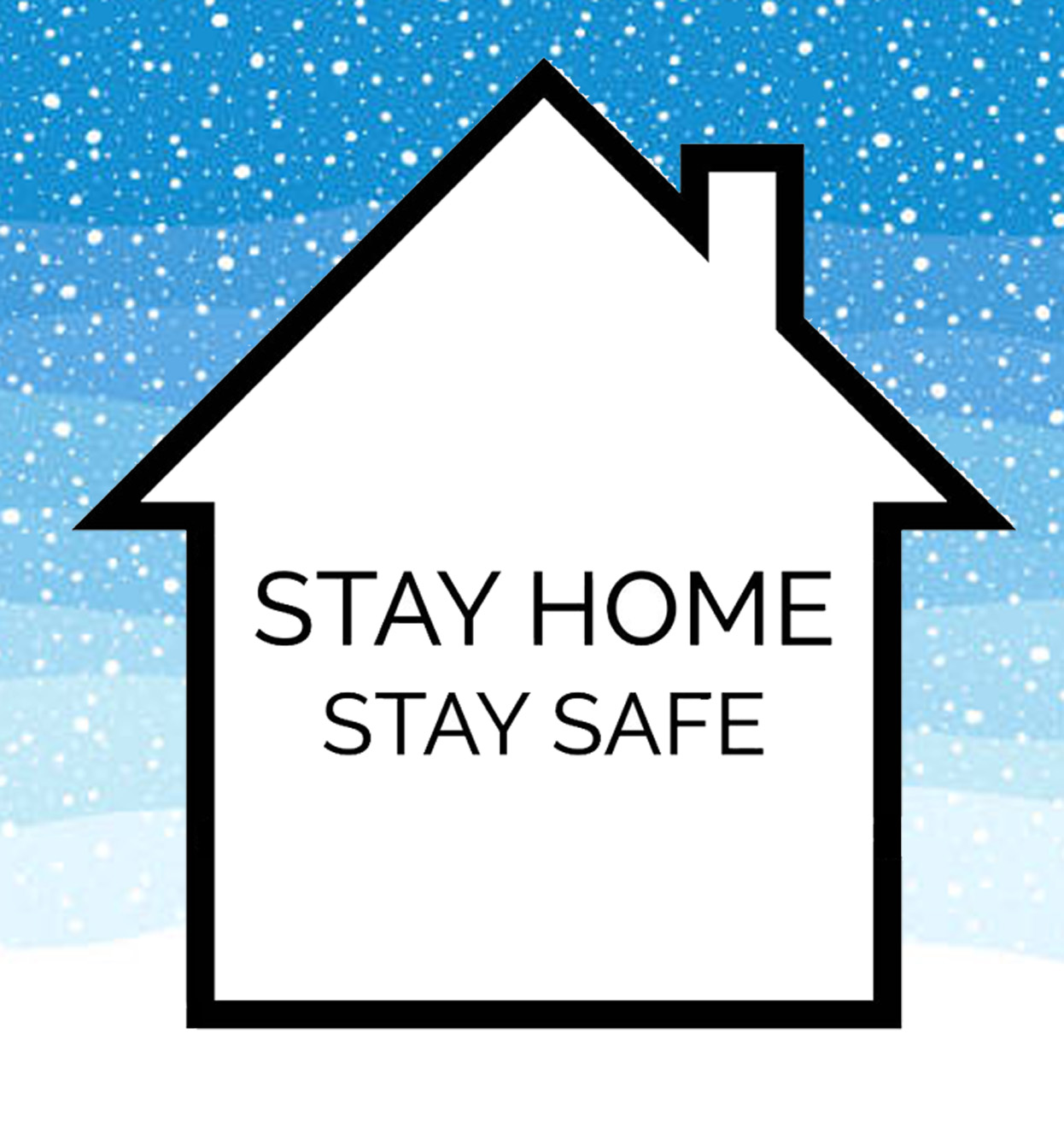
The City of Nelsonville continues to encourage everyone to stay home this weekend unless it is necessary to be out. “Stay Home, Stay Safe”, The storm may make roads treacherous and if you crash, first responders may be delayed by the storm in responding to your emergency.
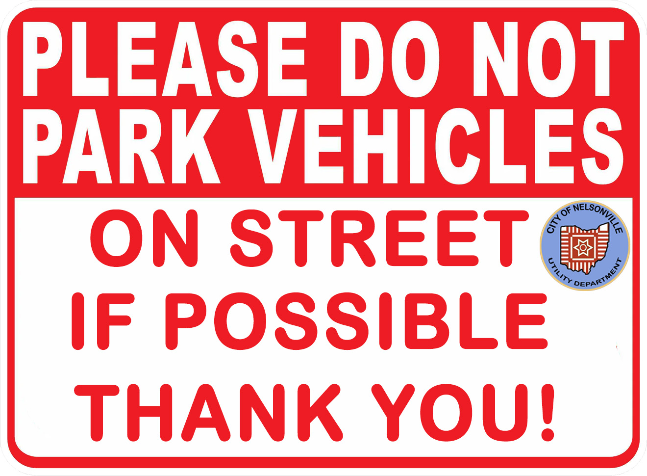
The Nelsonville Utility Department is asking for the help of residents with the upcoming winter storm. If possible, please remove vehicles from the streets for at least the next Forty-Eight (48) Hours. A large snowfall can constitute a serious public hazard, impairing transportation, medical care, fire, health and police protection. Not parking on the street assists city plow drivers in snow plowing, salting, and reducing traffic congestion during hazardous conditions predicted during the winter storm. The city acknowledges the fact that some citizens do not have a driveway or an alternative place to park. Thank you for any assistance you can provide.
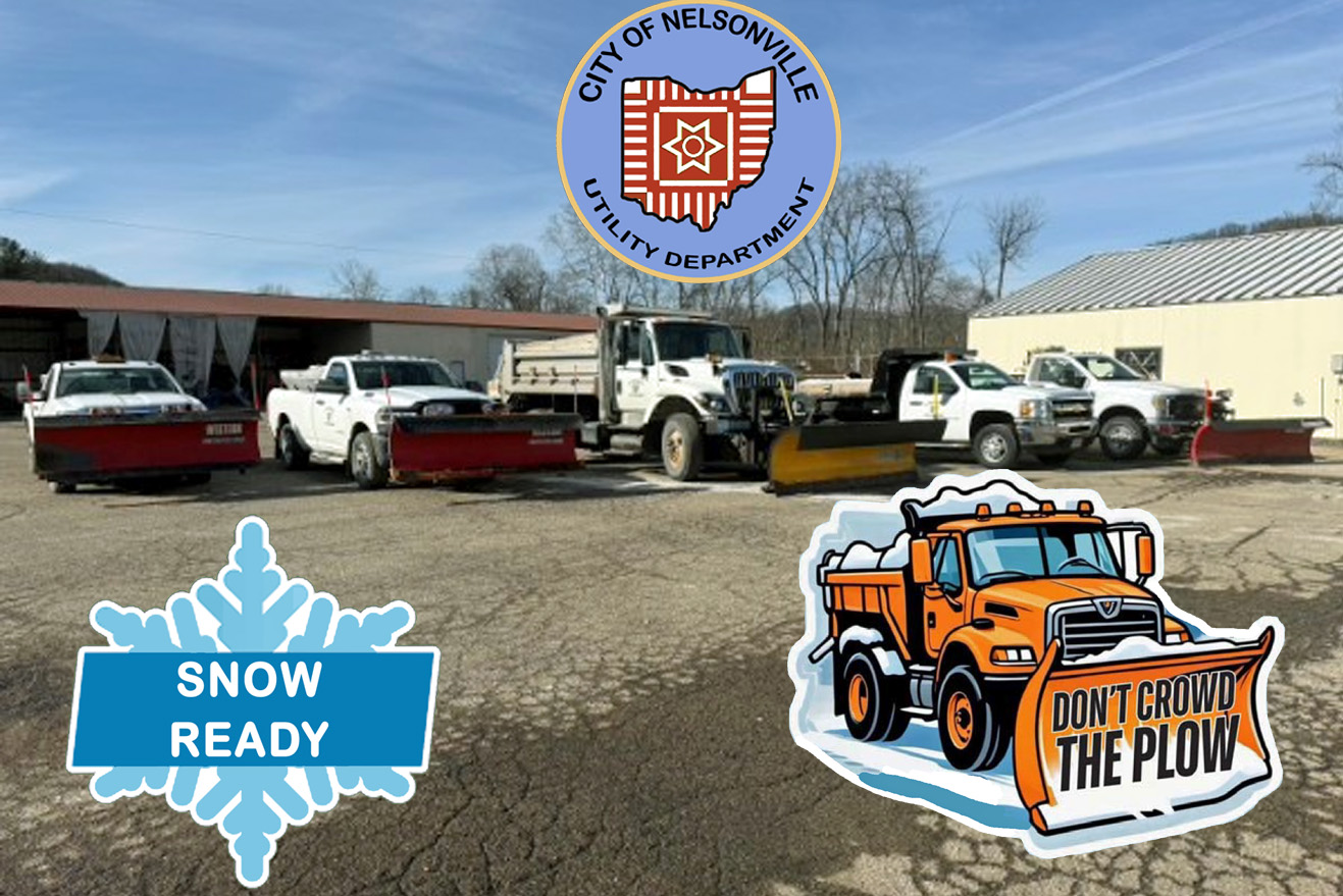
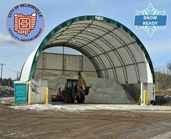
The City of Nelsonville and communities across Ohio are preparing for a significant winter storm that will bring significant snow and colder temperatures this weekend. While forecasts continue to change, current predictions indicate that multiple inches of snow are likely. Nelsonville Public Service crews are closely monitoring weather conditions and preparing to respond. Salt and plow trucks are being pre-loaded and fueled, and ready to begin plowing roadways as conditions warrant. Public Service staff will be working shifts throughout the weekend to ensure City streets are treated and safe for travel. As with any snowstorm, the City’s goal is to return normal driving conditions to all Nelsonville streets as soon as possible when the snow ends.
Snow Plowing Priorities
To ensure the most effective response, streets are plowed based on priority. Arterial streets are plowed first and continue to be serviced until precipitation ends and bare pavement is achieved. These streets are the City’s main thoroughfares and carry the highest volumes of traffic. Collector streets are addressed next, followed by residential streets. This approach helps keep major routes passable for emergency vehicles and essential travel during and after the storm.
Even with plowing and salting, road conditions may remain challenging when air and pavement temperatures stay below freezing. Salt becomes less effective at very low temperatures, and some packed snow or a thin layer of snow or ice may persist. Drivers are urged to use extreme caution and allow extra stopping distance.
Snow Emergency Levels
The City of Nelsonville encourages people to remember these Snow Emergency classifications.
Level 1: Roadways are hazardous. Motorists are advised to drive cautiously.
Level 2: Roadways are hazardous. Residents are urged to drive only when necessary.
Level 3: Roadways are closed to non-emergency travel. Police may stop and arrest motorists traveling unnecessarily.
Reporting Non-Emergency Issues
Residents are reminded that Text MyGov, is the City’s non-emergency reporting service, simply text “Hi” to 740-265-3858 to get started, and a series of texts will guide you through the reporting process. Text MyGov is available to report non-emergency issues such as potholes, broken streetlights, water main breaks, or downed tree limbs due to the weight of snow.
Only call 9-1-1 with emergency problems. Use non-emergency numbers or Text MyGov for non-emergency issues.
Neighbors Helping Neighbors
Please take extra care of yourself and those around you during winter weather. Avoid overexertion when shoveling snow, and take frequent breaks as needed. If you are able, consider helping neighbors who may have difficulty with snow removal. When heading outside, keep a phone with you in case you need to call for help due to a fall or medical emergency. And do not forget to bring animals indoors or make sure they are provided with warm shelter and dry bedding during the storm. A little caution, and kindness, can go a long way in keeping our community safe during winter storms.
Don’t let the calm before the storm fool you! The wind is increasing and the temperatures are falling. Tonight, there will be increasing clouds, with a low temperature around 3F. Wind chill values as low as -5F to -10F. North wind 10 to 15 mph.
Tomorrow, cloudy with snow showers developing during the afternoon. High 16F. Winds East Northeast at 5 to 10 mph. Chance of snow 40%.
Tomorrow night, cloudy with snow showers becoming a steady accumulating snow later. Low 12F. Winds light and variable. Chance of snow 90%. 3 to 5 inches of snow expected.
Sunday, cloudy with snow. High 24F. Winds NE at 5 to 10 mph. Chance of snow 100%. 8 to 12 inches of snow expected. Heavier amounts in persistent snowbands.
Sunday night, light snow in the evening will give way to cloudy skies overnight. Low 9F. Winds Nort West at 5 to 10 mph. Chance of snow 80%. About one inch of snow is expected. Heavier amounts in persistent snowbands.
If you don’t need to travel stay home and stay safe. This storm will produce hazardous road conditions making travel extremely dangerous. Watch for changing conditions by monitoring TV, Radio and Online weather information.



 City of Nelsonville, Ohio Information Blog